🎉 Up to 70% Off Selected ItemsShop Sale


Map of Kansas & Nebraska Territorial 1857
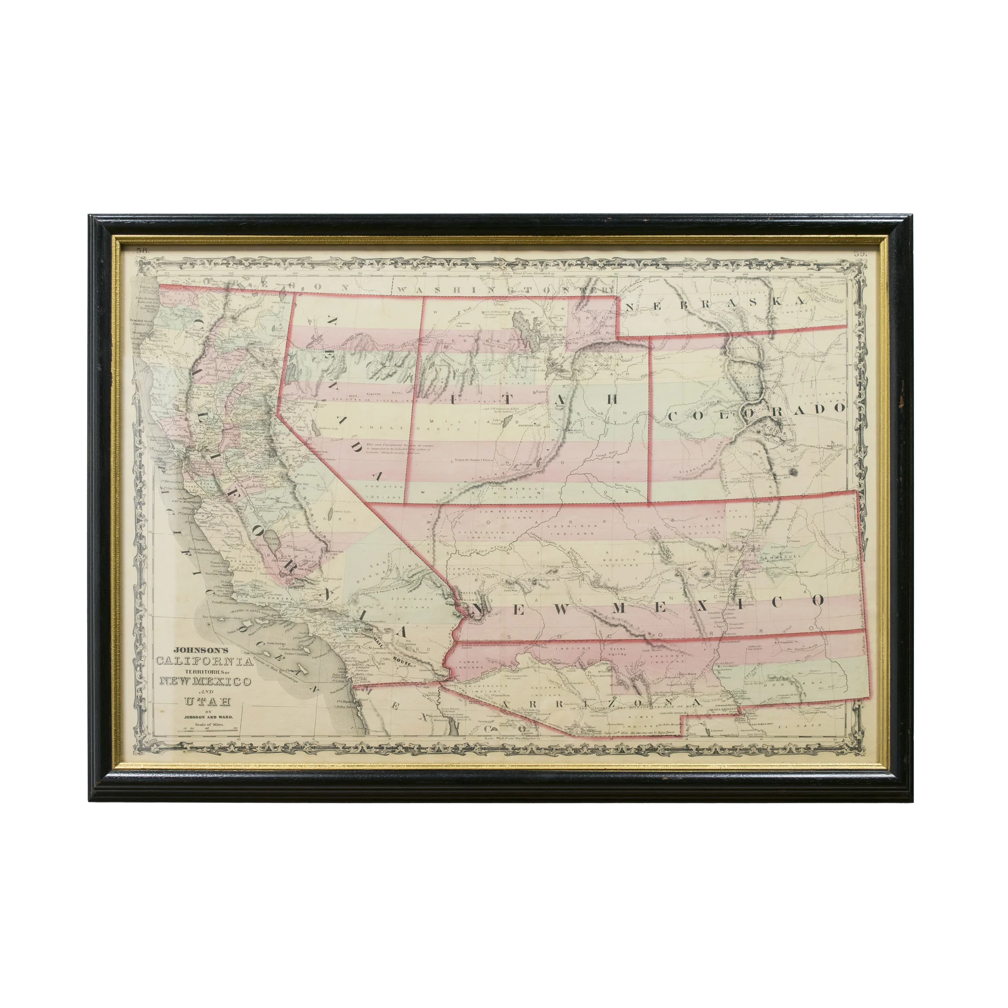
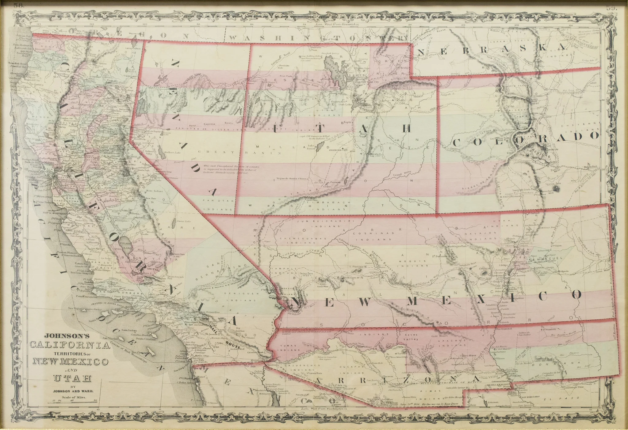
Kansas and Nebraska framed territorial map circa 1857. The territorial map features a wonderfully and professionally crafted map that shows the state of Kansas and Nebraska with counties correctly stated and shows the state lines of both states. The fine print in the bottom left hand corner states that it was entered into the Library of Congress in 1857 and was published by J.H. Colton & Co.
PERIOD: Mid 19th Century
ORIGIN: Kansas, United States
SIZE: 25" x17" Frame 30" x 21"
$525.00
Original: $1,500.00
-65%Map of Kansas & Nebraska Territorial 1857—
$1,500.00
$525.00Product Information
Product Information
Shipping & Returns
Shipping & Returns
Description
Kansas and Nebraska framed territorial map circa 1857. The territorial map features a wonderfully and professionally crafted map that shows the state of Kansas and Nebraska with counties correctly stated and shows the state lines of both states. The fine print in the bottom left hand corner states that it was entered into the Library of Congress in 1857 and was published by J.H. Colton & Co.
PERIOD: Mid 19th Century
ORIGIN: Kansas, United States
SIZE: 25" x17" Frame 30" x 21"