🎉 Up to 70% Off Selected ItemsShop Sale


Large Map of California & Nevada 1907
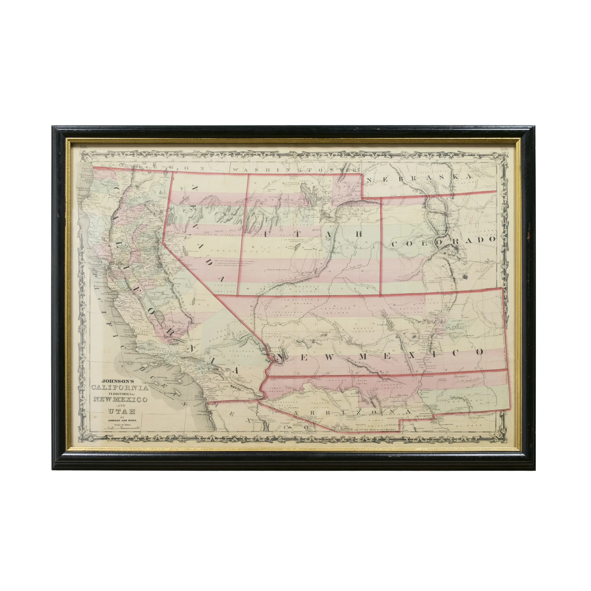
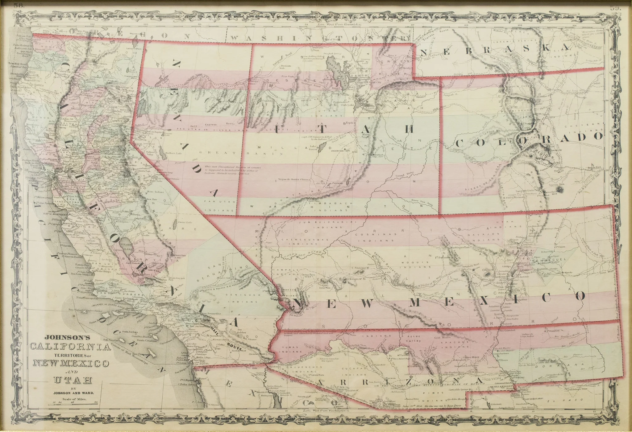
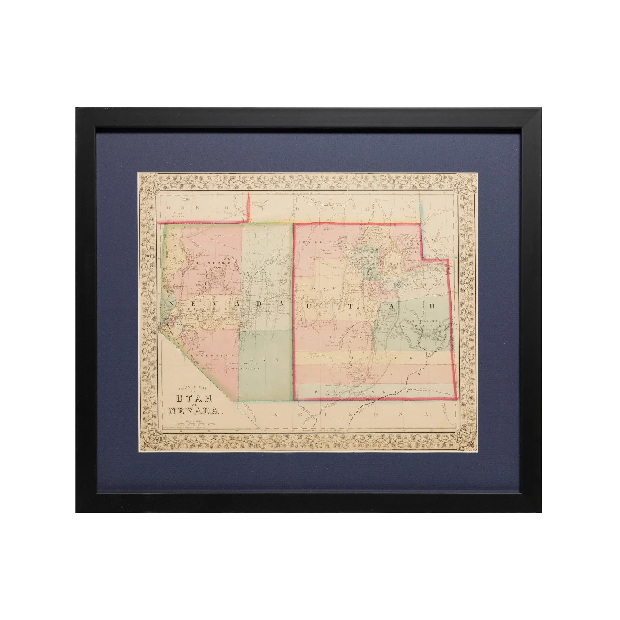
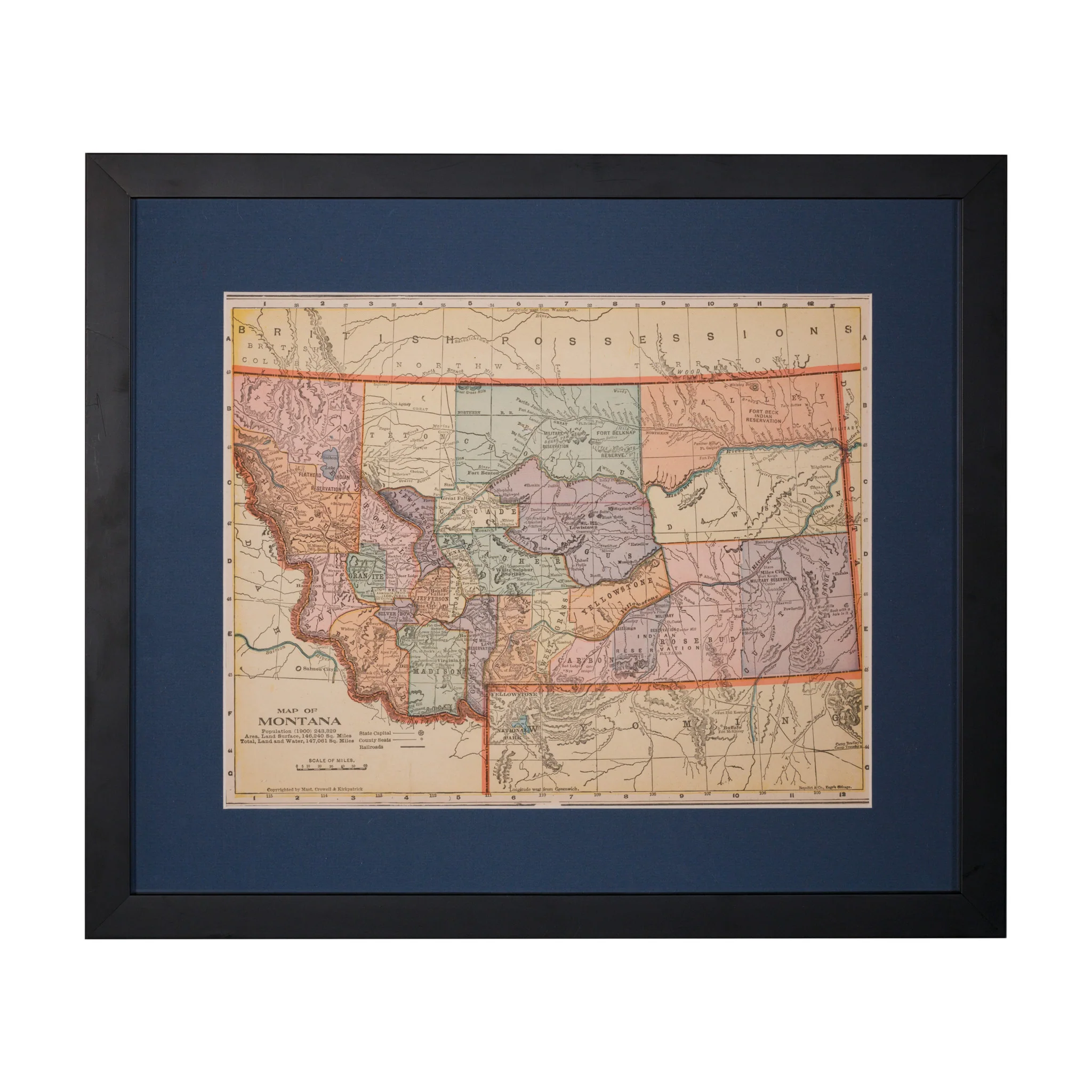
Webers township and county-map of California, Nevada and Southern Oregon. Compiled & drawn from the latest data. Publisher C.F. Weber & Co, 1907. Lithographed map with outline color. 53 3/4" x 39 3/4", mounted on linen backing. Framed. Large, detailed map of California and Nevada, with a bit of Oregon. There are two insets: "Map of San Francisco and adjacent territory" and "Map of Los Angeles and adjacent territory." Not to be confused with a similarly titled map from Weber, also 1907, but smaller. OCLC lists five copies of the present map. Not framed, but can be.
PERIOD: Early 20th Century
ORIGIN: California, United States
SIZE: 53 3/4" x 39 3/4"
$1,050.00
Original: $3,000.00
-65%Large Map of California & Nevada 1907—
$3,000.00
$1,050.00Product Information
Product Information
Shipping & Returns
Shipping & Returns
Description
Webers township and county-map of California, Nevada and Southern Oregon. Compiled & drawn from the latest data. Publisher C.F. Weber & Co, 1907. Lithographed map with outline color. 53 3/4" x 39 3/4", mounted on linen backing. Framed. Large, detailed map of California and Nevada, with a bit of Oregon. There are two insets: "Map of San Francisco and adjacent territory" and "Map of Los Angeles and adjacent territory." Not to be confused with a similarly titled map from Weber, also 1907, but smaller. OCLC lists five copies of the present map. Not framed, but can be.
PERIOD: Early 20th Century
ORIGIN: California, United States
SIZE: 53 3/4" x 39 3/4"